From detailed protected structure surveys to basic demolition drawings, at Techsol we have the technology and expertise to deliver the most cost-effective solution.

Measured Building Surveys

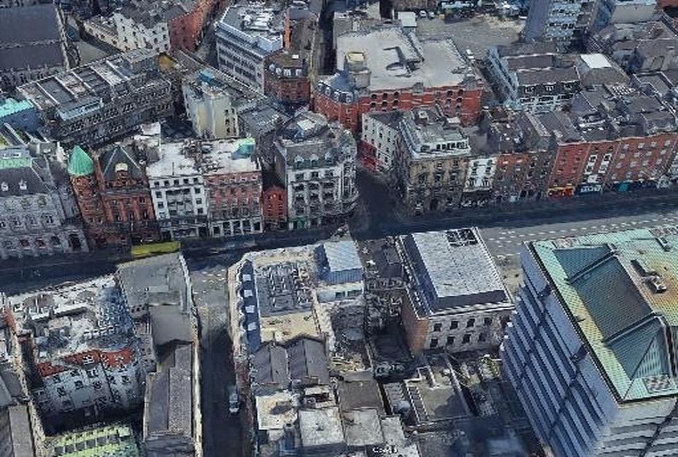
Measured Building Surveys involve the collection of dimensional, level and feature data and production of plans, elevations and sections of an existing building to facilitate Architectural design for refurbishment and/or building extensions. These would often include façade surveys of nearby buildings to show the proposed build in context. This type of survey would typically be carried out with a combination of technologies including:

  • GNSS
  • Scanning Total Station
  • Laser Scanner
  • Distometer/Tablet combo. With Specialist Floor Plan Software

When undertaking a measured building survey, the key to achieving value for money for the client is consultation with the designer. It’s helpful to get a survey specification, but only if it’s project specific. Generic specifications often call up data-collection that’s irrelevant to the project and just add cost unnecessarily. Careful consultation with the designer on the specific data they require, the accuracy and level of detail of that data and how it’s presented results in a fit-for-purpose survey. 

Of course, buildings are measured for all sorts of reasons including: Sale, Repair, Conservation, Reconstruction, Archiving, Change of Use, Facilities Management, Demolition etc. The required accuracy and level of detail will determine the type of technology employed and the time required to survey and present data. 

For demolition drawings, a very basic floor plan may be specified. We might assume right angles and use nominal internal and external wall thickness. This type of survey could be carried out relatively quickly and inexpensively. 

Accurate Measured Building Surveys

The most common type of measured building survey we carry out is for building extension and renovation. Survey data needs to be much more accurate in this case, as the dimensions of new design elements may be dependent on the survey data collected. Wall thicknesses, and accurate room geometry are critical, so it may be necessary to use a total station internally. The surveyor must investigate beyond what is immediately visible. For example, false ceilings, dry-lined walls, structural elements behind built-in furniture or in attic space would all be important to record. In some older buildings, it may become apparent that we can’t assume that all floors are level or that all walls are plumb, and in this scenario it’s very important to pick up these anomalies so that they can be accounted for in the design before the project goes to construction.

Protected Structure Surveys

The most detailed type of building survey is for conservation and restoration. We usually encounter these surveys when some construction or renovation work is being planned for a protected structure. A protected structure is a structure that a planning authority considers to be of special interest from an architectural, historical, archaeological, artistic, cultural, scientific, social or technical point of view. 

With this type of survey, in addition to the accuracy requirements, it is also required to record architectural features that are of special interest. These might include, decorative plasterwork, stained glass, sash windows, detailed stone masonry, decorative stair details – balustrades, newel posts etc. The most efficient way of collecting this data is by laser scanning. The presentation of this type of survey data can be very time-consuming, but careful consultation with the Conservation Architect can lead to a solution that avoids unnecessary time and cost.

BIM (Building Information Modelling)

BIM is a highly collaborative process that allows multiple stakeholders and AEC (architecture, engineering, construction) professionals to collaborate on the planning, design, and construction of a building within one 3D model. The BIM level (0 to 3 generally) is dependent on the extent to which technology is leveraged to facilitate collaboration. In the UK, BIM level 2 is now mandatory on publicly funded building projects, and while adoption in Ireland has been a little slower, this is the direction in which the industry is moving. 

BIM seeks to eliminate inefficiencies, clashes and rework by making the latest information available to the appropriate stakeholders at each stage of the project, and this is dependent on having a highly accurate 3D survey of the building (in the case of an existing building). Laser scanning is the preferred technology for producing an accurate 3D model as it allows large amounts of data to be captured quickly. 

The formatting and presentation of this data is something that would be specified on a public project, however, on a commercial project, it’s critical that there is consultation with the designers to ensure that their expectations are met both in terms of compatibility and model sophistication.

Disto/Tablet Combo

For 2D floor plans where point cloud data is not required, a distometer with bluetooth link to a tablet running specialist 2D floor plan software is often the most time-efficient method of collecting the required data. A total station can be used with this system where more challenging room or wall shapes are encountered.  

what-we-do

Survey of City Centre Site with Extensive Contextual Data Requirement

This was a sensitive site, in the Dame Street area, so it was necessary to demonstrate the impact of the proposal on the surrounding Architecture. This necessitated the surveying of approximately 700 linear metres of streetscapes in the city centre.

Case Studies