Topographic Survey for Proposed Development at The Maltings, Bray
Topographic Survey for Proposed Development at The Maltings, Bray
Topographic Surveys involve the collection of level and feature data for an area of land in advance of detailed design. These might include:
Typical applications for these surveys are the Design of Infrastructure and Design of Buildings.
Civil Engineering consultancies use:
Architectural practices use:
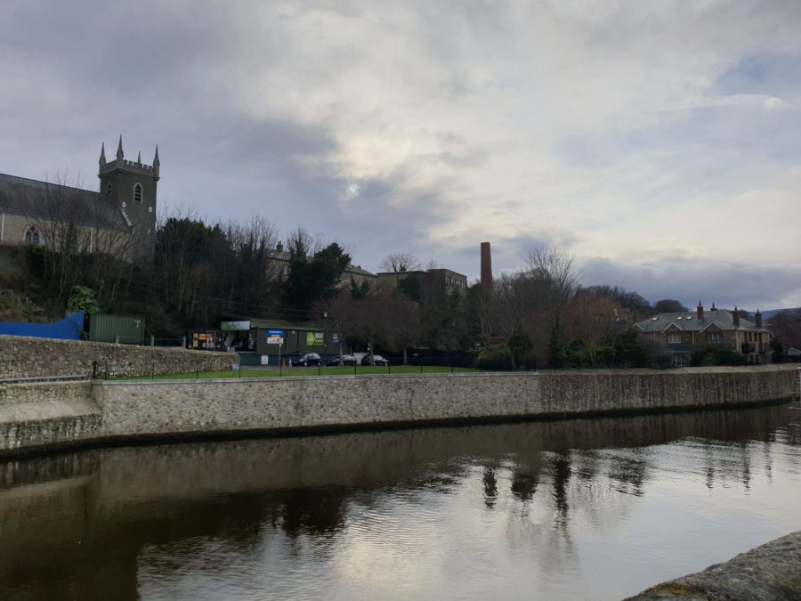
Topographic Survey for Proposed Development at The Maltings, Bray